|
Dale Stenseth's Arkansas High Point Page
| |
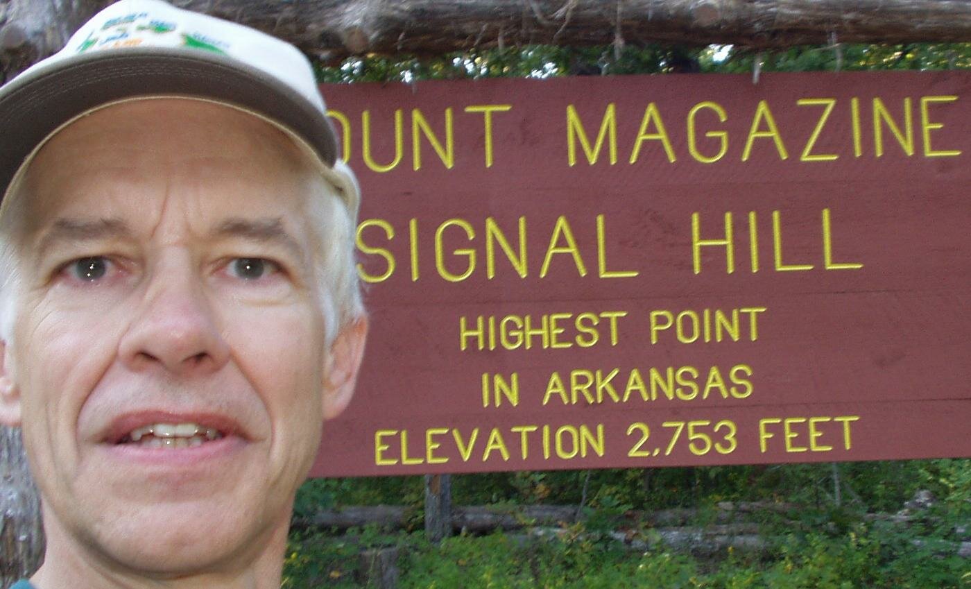
Highpoint 28. Arkansas, Magazine Mountain, 2753 ft, 9/19/2003
Used Wingers' book for guidance.
Zumwalt's book has an area road map.
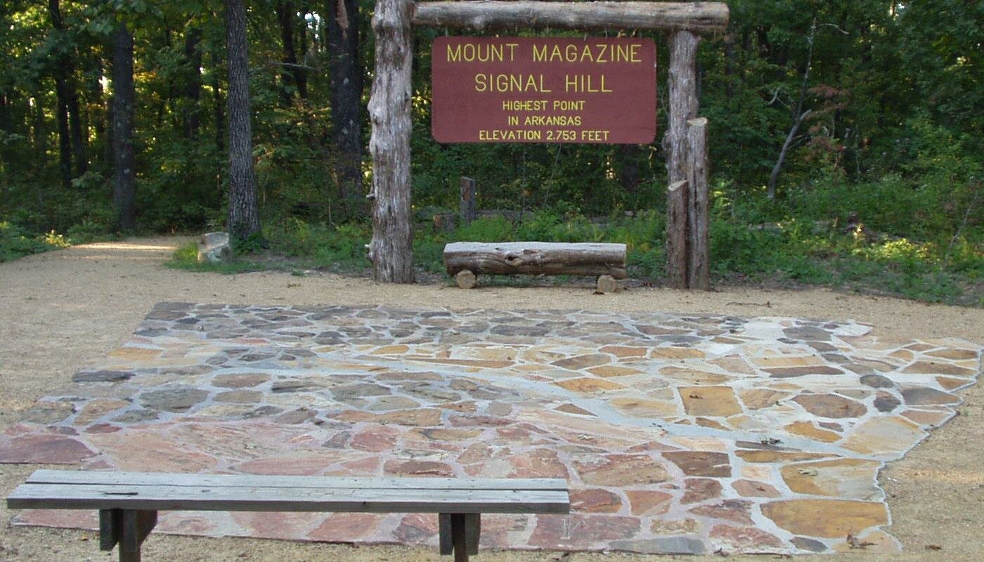
There is a loop road around the summit. Wingers' book does not reflect this. Zumwalt's book does. There are 3 trailheads at different points on the loop road. There is a great view to the south from the former Magazine Mountain Lodge site.
Drove up the mountain on AR 309 from Paris. Drove down the mountain on AR 309 south to Havana, on my way to Louisiana. Some of these roads were slow and winding, ideal for a motorcycle or convertible. Motels are scarse going south.
There are no rest rooms at the summit, but there are at the campground and at the visitor center.
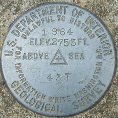
The survey benchmark is shown below. |
|
 |
Benchmark Information from the NGS Data Sheet:
Designation - MAG
PID - FG1888
State/County - AR/LOGAN
USGS QUAD - BLUE MOUNTAIN (1966)
NAD 83(1997)
Lat --- 35 10 01.25833(N)
Long - 093 38 41.01331(W) ADJUSTED
Height - 2753. feet SCALED
This is descriptive information
only and not for navigation. |
 |
Found the benchmark in a stone patio in front of the sign. After a while, I realized that the 'stone patio' was a mosaic of the state of Arkansas, with the Arkansas river running through it, with the benchmark at the highpoint, and with a star representing the state capitol.
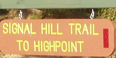
There are 3 hiking trails to the summit. I started at the ruins of the Magazine Mountain Lodge on the south side. I think the trail from the Cameron Bluff campground may be shorter.
Copyright © 2003-2006 Dale Stenseth. All rights reserved.
This page may be freely linked to, but may not be duplicated in any manner without the author's express consent,
except that hikers may print a single copy of trip reports for personal use.
|