|
Dale Stenseth's Connecticut High Point Page
| |
Highpoint 18. Connecticut, Mt. Frissell, 2380 ft, 8/28/03
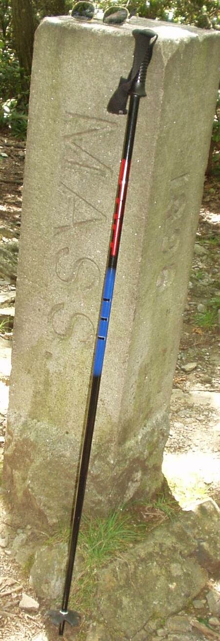
The summit of Mt. Frissell is actually in Massachusetts. The Connecticut high point is on the northern border of Connecticut, on the south slope of Mt. Frissell, not too far from its summit.
I used Wingers' book for guidance.
According to a hiker from Massachusetts, who I met on the trail, the described trail is one used by hikers who want to score a 3 state hat-trick. In an easy half day, it is possible to summit 3 adjacent peaks in 3 states. The trail takes you over Round Mountain in Connecticut on the way to the CT highpoint. The trail passes within a few yards of the summit of Mt. Frissell, in Massachusetts. Continuing on past the tri-state marker (shown below), there is a nearby peak in New York.
Contrast Zumwalt's route, which may be easier, since it doesn't go up and down Round Mountain on the way.
There are no rest rooms at the trail head or the summits.
The access road is the Mount Washington Road. Note that the road continues into Massachusetts, and is in better condition in Massachusetts. This is important if you are traveling north from this trailhead to the Massachusetts high point, or are coming from the north.
|
|
 |
Benchmark Information from the NGS Data Sheet:
Designation - BOUNDARY BOUND 198 B CT MA
PID - MZ2048
State/County - CT/LITCHFIELD
USGS QUAD - BASH BISH FALLS (1969)
NAD 83(1996)
Lat --- 42 02 58.64061(N)
Long - 073 28 57.91376(W) ADJUSTED
Height - 2379. feet SCALED
There are other benchmarks nearby.
This is descriptive information
only and not for navigation. |
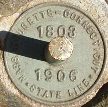 |
This marker is at the tri-state point between Connecticut, Massachusetts, and New York. It is 1247.38 feet west of the benchmark above, and back down hill.
Copyright © 2003-2006 Dale Stenseth. All rights reserved.
This page may be freely linked to, but may not be duplicated in any manner without the author's express consent,
except that hikers may print a single copy of trip reports for personal use.
|