|
Dale Stenseth's Michigan High Point Page
| |
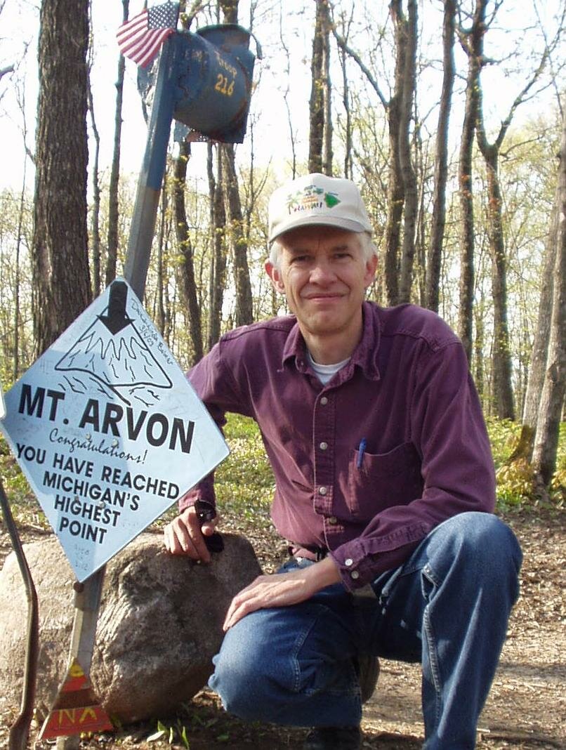
10. Michigan, Mount Arvon, 1979 ft, 5/24/03
Used Winger's book for guidance. Had a little trouble with the road map, after the gravel pit.
Zumwalt's book contains a topographical/road map which was helpful.
There is a 12+ mile drive on gravel or unmaintained roads. The last 4 miles have big, oil pan killer rocks in the middle of the road. A friend suggested using a rental vehicle for this road. Allow plenty of time. Bad mosquitoes today.
There are no rest rooms along the gravel road, at the 'trail head', or at the summit.
Benchmark is shown below. |
|
Copyright © 2003-2006 Dale Stenseth. All rights reserved.
This page may be freely linked to, but may not be duplicated in any manner without the author's express consent,
except that hikers may print a single copy of trip reports for personal use.
|