|
Dale Stenseth's North Dakota High Point Page
| |
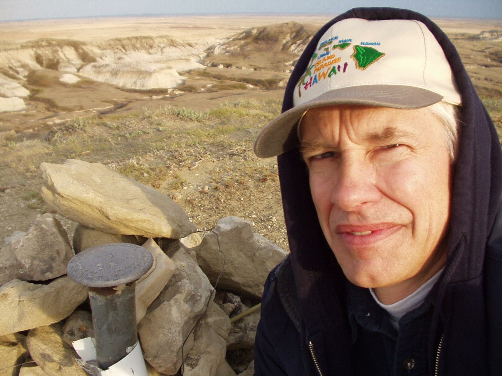
Highpoint 8. North Dakota, White Butte, 3506 ft, 4/17/03
When driving east from Amadon, because of where the highpoint sign is located, it is very easy to turn south too soon. Turn south on the gravel road east of the cemetery, not west of the cemetery. I let the sign affect my decision, and drove south for 3 miles on an unmaintained section road. After 3 miles, when the section road bent around a small butte, I decided to drive east and found the correct gravel road.
Used Wingers' book for guidance. It was too cold for rattle snakes. You must cross private property to get to this highpoint. Mrs. Van Daele is an interesting person and collects a $20 per car access fee.
The Winger map shows a trail going off to the west. This is based on hiking from the abandoned house out on the main gravel road.
Mrs. VanDaele directed me to drive down the section road past her mail box. If you do this, you will hike straight south, then slightly to the east, rather than westerly as Wingers' book suggests.
There are no rest rooms.
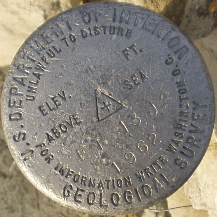
The survey benchmark is shown below. |
|
 |
 |
Copyright © 2003-2006 Dale Stenseth. All rights reserved.
This page may be freely linked to, but may not be duplicated in any manner without the author's express consent,
except that hikers may print a single copy of trip reports for personal use.
|